
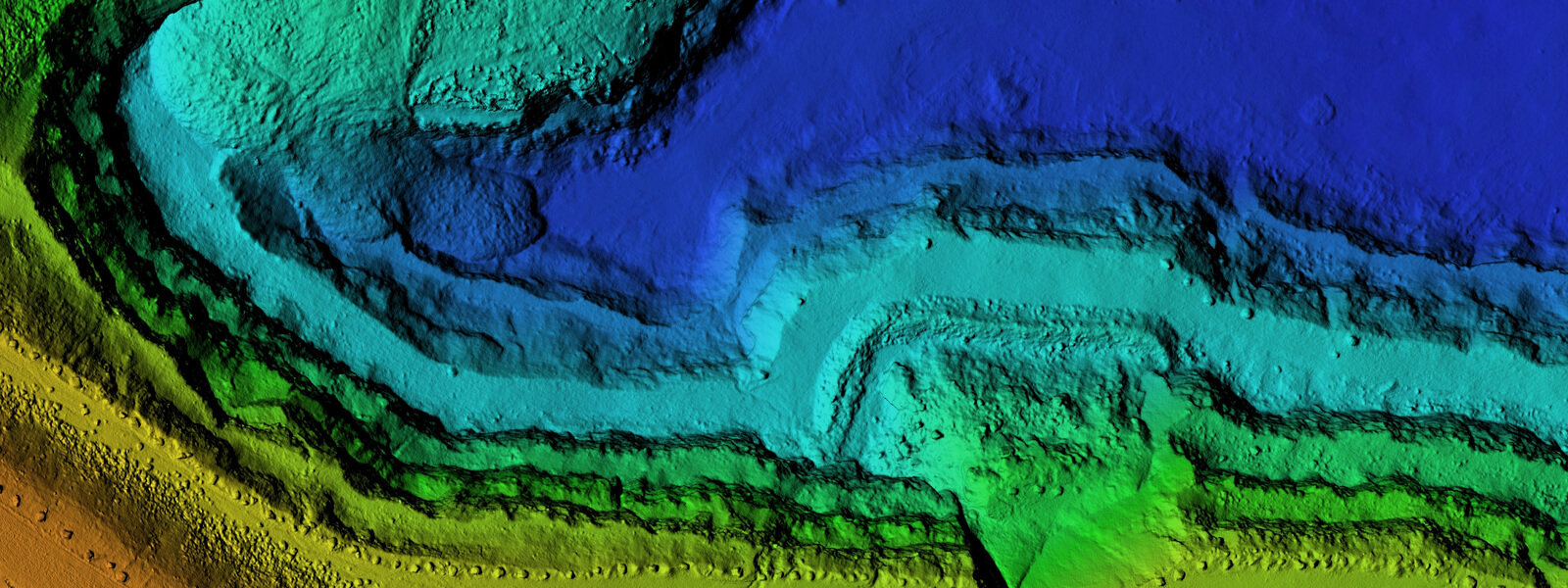
Geographic Information Systems (GIS)
Unlock career opportunities in spatial data analysis and digital mapping technology. Designed for working professionals and career changes, the GIS Certificate program provides practical skills that employers demand in today's data-driven world.
Map your future with the Geographic Information Systems (GIS) Certificate Program
The Certificate of Achievement in Geographic Information Systems (GIS) provides students with the knowledge and skills necessary for entry-level technician positions in GIS. The program also enhances the technical competencies of students in related career and technical education fields such as Environmental Science, Field Biology, and Plant Science, where GIS proficiency can expand employment opportunities.
Students who complete the certificate may also continue their studies toward an Associate in Arts for Transfer (AAT) in Geography, offering a defined pathway to bachelor's degree programs in geography or related disciplines.
What You'll Learn
Develop essential skills in:
- Geospatial applications and online mapping
- GIS fundamentals: Spatial data analysis and visualization, coordinate systems, projections
- Remote sensing and aerial imagery analysis
- Industry-standard GIS software (ArcGIS Pro, ArcGIS Online)
Core GIS Courses (9 units)
We have three core GIS courses that are required for the certificate. These courses are also part of the Geography AAT degree.
- Geography 11 - Introduction to Geospatial applications (3 units, 100% online, offered in fall semesters)
- This course is an introduction to maps and associated geospatial technologies such as geographic information systems and remote sensing. It includes online labs where you will learn things like creating web-based maps and online GIS using professional software (Esri ArcGIS Online). We recommend taking this course first in the fall if possible.
- Geography 10 - Introduction to Geographic Information Systems (3 units, Hybrid, offered in spring semesters)
- This course focuses on more in-depth on Geographic Information Systems (GIS).Labs are primarily in-person in our GIS Lab where you will learn using professional GIS desktop software (Esri ArcGIS Pro).
- Geography 18 - Introduction to Remote Sensing (3 units, Hybrid, offered in spring semesters)
- This course focuses on the use of imagery and remote sensing in GIS. Remote sensing is the capturing of meaningful information from sensors on remote platforms such as satellites, aircraft, or drones. Labs are primarily in-person in our GIS Lab where you will learn using professional GIS desktop software (Esri ArcGIS Pro) and software extensions for remote sensing (Esri ArcGIS Pro Image Analyst).
Elective Courses (7+ units)
Electives for the GIS certificate program include courses on topics related to understanding GIS (statistics or computer concepts) or in areas where GIS can be applied (Environmental Science, Soil Science, or Wildlife Biology). Students who want the option of earning Geography AAT are encouraged to include Environmental Science (BIOL-13) along with Environmental Science Lab (BIOL-13L). These courses will also apply towards general education, Biological Sciences requirements.
- Environmental Science and Environmental Science Lab (BIOL-13 and BIOL-13L).
- Soils and Soils Lab (PLS-2 and PLS-2L).
- Statistics (BA-23, PSYC-42, or STAT-C1000).
- Computer Concepts (IS-15).
- Wildlife and Plant Conservation Field Methods (BIOL-17).
- Field Biology (BIOL-7).
- Plant Science and Plant Science Lab (PLS-1 and PLS-1L).